Discover insider tips

Hiking in Obwalden - insider tips for the perfect tour

Experience Obwalden in the heart of Switzerland on foot. With 1,000 kilometers of hiking trails, hiking nearby is easy and convenient. Thanks to its central location, Obwalden is easily accessible and offers ideal conditions for hiking in Central Switzerland. Whether you are traveling without a car, with children or with a dog - you will find the perfect route here.

Multi-day hike

Obwalden High Trail

The Obwalden High Trail takes you over several days from Pilatus around the Sarneraa valley to the Stanserhorn. The route offers a varied mix of alpine flora and fauna, historic crossings and spectacular panoramas.

1st stage

Pilatus - Langis Glaubenberg

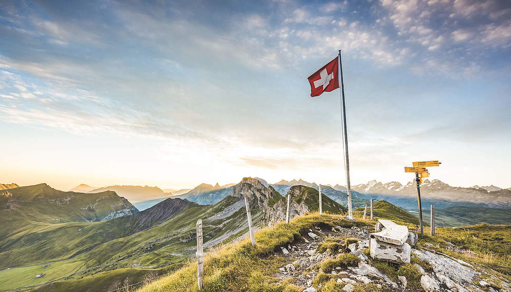
The first stage begins majestically on the Pilatus and leads to Langis.
1st stage

Pilatus - Langis Glaubenberg

The first stage begins majestically on the Pilatus and leads to Langis.

Route details
Stage 1

Pilatus - Langis Glaubenberg

The first stage begins majestically on the Pilatus and leads to Langis.

Route details
Stage 2

Langis Glaubenberg - Schönbüel

The high-level trail continues through the largest moorland area in Switzerland to Berghaus Schönbüel, where a spectacular view awaits you.

Stage 2

Langis Glaubenberg - Schönbüel

The high-level trail continues through the largest moorland area in Switzerland to Berghaus Schönbüel, where a spectacular view awaits you.

Tour details
Stage 2

Langis Glaubenberg - Schönbüel

The high-level trail continues through the largest moorland area in Switzerland to Berghaus Schönbüel, where a spectacular view awaits you.

Tour details
3rd stage

Schönbüel - Brünig

The shortest stage of the high-altitude trail takes you from Berghaus Schönbüel to the Bünigpasshöhe.

3rd stage

Schönbüel - Brünig

The shortest stage of the high-altitude trail takes you from Berghaus Schönbüel to the Bünigpasshöhe.

Tour details
3rd stage

Schönbüel - Brünig

The shortest stage of the high-altitude trail takes you from Berghaus Schönbüel to the Bünigpasshöhe.

Tour details
Stage 4

Brünig - Melchsee-Frutt

From Brünig, the route continues via Älggialp, the geographical center of Switzerland, to Melchsee-Frutt.

Stage 4

Brünig - Melchsee-Frutt

From Brünig, the route continues via Älggialp, the geographical center of Switzerland, to Melchsee-Frutt.

Route details
Stage 4

Brünig - Melchsee-Frutt

From Brünig, the route continues via Älggialp, the geographical center of Switzerland, to Melchsee-Frutt.

Route details
Stage 5

Melchsee-Frutt - Stanserhorn

The long final stage can also be done in two stages with an overnight stay on the Oberlachen Alp.

Stage 5

Melchsee-Frutt - Stanserhorn

The long final stage can also be done in two stages with an overnight stay on the Oberlachen Alp.

Details
Stage 5

Melchsee-Frutt - Stanserhorn

The long final stage can also be done in two stages with an overnight stay on the Oberlachen Alp.

Details
For every season

Seasonal hiking recommendations

Splendor of blossoms

Hiking in spring

Those who choose spring will be rewarded with the awakening of nature. Here and there you will still find patches of snow, but in spring you sometimes have the hiking trails almost to yourself. Early summer is ideal for getting in the mood for the hiking season and building up the necessary fitness for longer tours.

Lake Sarnen circular hike

This circular hike can be done from Sarnen, Sachseln or Giswil. On the eastern shore, the trail leads along the shore, while on the western side it continues on an elevated path. Always with a beautiful view of Lake Sarnen.

20.7 km | ca. 5.5 h

Sachsler Höhenweg

The Sachsler Höhenweg is a very scenic hike and perfect when there is still snow at higher altitudes. It leads from Flüeli-Ranft via the geographical center of Obwalden to Giswil.

12.8 km | ca. 4h

Culinary hike

Treat yourself to delicacies from the region in five traditional Obwalden inns and enjoy the valley from its most beautiful side. The trail leads along the beautiful Lake Sarnen.

10 km | ca. 2.5 h (Laufzeit)

Lungern boulder trail

The boulder trail leads around the picturesque Lake Lungern. Attentive observers will notice boulders in the meadows which, in terms of their composition, do not fit in with the local geology. But how did boulders weighing tons get from the Grimseln region to Lungern?

12 km | ca.4 h

Zingel Mueterschwanderberg

The circular hike leads along Lake Alpnach up to the sunny Mueterschwandenberg. The ascent is rewarded with a picturesque view of Lake Alpnach and Pilatus.

11 km | ca. 4 h
Over hill and dale

Summer hikes

At over 1,500 m above sea level, you leave the summer heat behind you. At the start of the summer season, you can enjoy the budding mountain spring. Refreshing mountain lakes and rivers await hikers at high altitude, while bathing lakes await in the valley. And a hike to a waterfall is always a good summer idea.

Bonistock round trip

The Bonistock circular tour on Melchsee-Frutt offers spectacular views of impressive rocky landscapes and mountain lakes as well as unique Alpine flora. If you want to shorten the hike, you can take the Frutt train back from Tannalp.

9.6 km | ca. 3 h

Höch Gumme round tour

The Höch Gumme above Lungern is a rewarding destination with its fantastic 360° panorama. Past alpine meadows, beautiful summit crosses and fantastic viewpoints.

11 km | ca. 4 h

Summit hike Stuckli Cross

The Stuckli Chriiz is an imposing peak above Sachseln, from where you can enjoy a fantastic panoramic view over the Sarneraa valley. The sunset is simply stunning.

3.6 km | ca. 1.5 h

European ladder - to the center of Switzerland

The Europaleiter provides a spectacular link between the Melchsee-Frutt vacation region and the Älggialp, the geographical center of Switzerland.

6.9 km | ca. 3 h (alpin)

Fürstein round tour

The Fürstein on the border between the cantons of Obwalden and Lucerne is a well-known panoramic mountain that invites you to enjoy a scenic hike.

8.9 km | ca. 3 h
Splendor of color

Hiking in the fall

In autumn, the colors of nature take center stage. The ground, undergrowth and treetops take on colorful hues and, with a bit of luck, wild animals can also be spotted in autumn.

To the Hochstollen

The spectacular view from the Hochstollen into the beautiful mountain world of the Central Swiss and Bernese Alps and the deep blue mountain lakes is breathtaking.

11.5 km | ca. 4 h

Pleasure hike with sunset

The pleasure hike from Lungern-Turren to Fluonalp and back is truly fabulous and is spread over 2 days. You will spend the night at the Fluonalp alpine dairy and restaurant. The scenery for the sunrise is simply magnificent.

15 km | ca. 5 h

Over the Schlierengrat

This wonderful circular tour in the largest moorland landscape in Switzerland captivates with its views and diverse flora. The explosion of color in autumn - this red-orange-yellow spectrum in the bushes and peat moss - is fascinating.

10.4 km | ca. 3 h 15 min.

Flüeli-Ranft circular hike

In autumn, the leaves on the trees around the Ranft and St. Niklausen change color. All you can hear is the rustling of the leaves underfoot and the rushing of the great Melchaa. This circular walk is highly recommended, especially in the fall.

8 km | ca. 2.5 h

Renggpass circular hike

From Alpnachstad, the riverside path, planted with a wide variety of signposted trees, leads to Niederstad. From here, the historic mule track climbs steeply at first and then leisurely up to the Rengpass, which was already used by the Romans. The view of Lake Alpnach is magnificent.

13 km | ca. 4.5 h
Public transportation

Hiking without a car

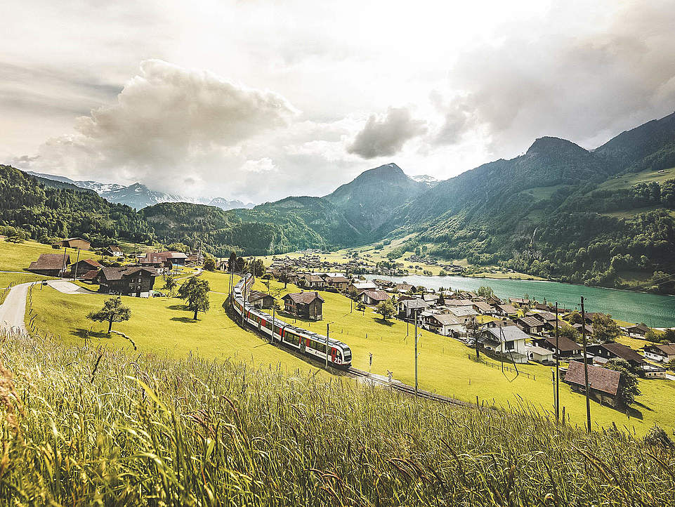
Hikes without a car are very popular in centrally located Obwalden thanks to good public transport connections. The Zentralbahn (train) or buses take hikers comfortably to the starting point and back home again.
Out and about with the dog

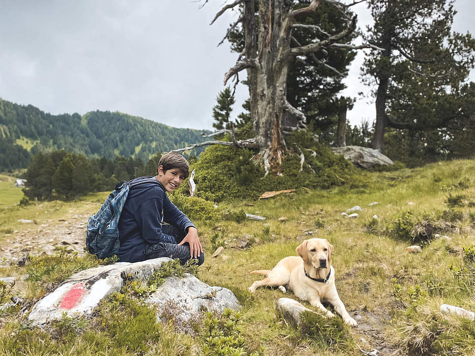
Many hiking trails can be experienced with dogs. Respect for other hikers, livestock and wild animals is a prerequisite. Obwalden has various rules regarding the obligation to keep dogs on a lead, specific information can be found on the website of the canton of Obwalden.
Well equipped

Hiking in the rain

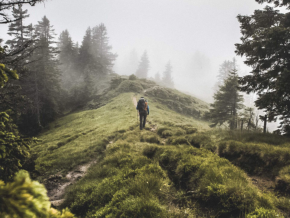
Good outdoor equipment makes attractive hiking destinations in the heart of Switzerland accessible even in the rain. Popular hikes in Switzerland are naturally less popular on rainy days than when the sun is shining, and hiking in the rain is a very special experience in its own right.
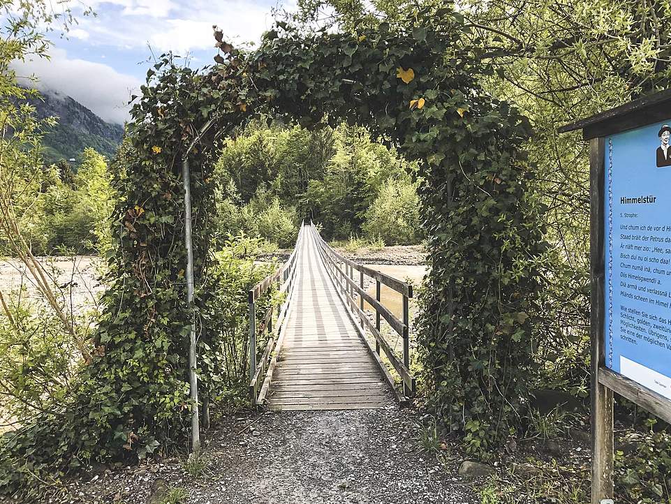
Theme trails

Hiking with children

Boredom is out of the question! Children love the wide range of easy hikes, the paths to the water, playgrounds and fireplaces and especially the circular hikes, where they can avoid the often monotonous return journey. Themed trails and themed walks also inspire the imagination or impart new, exciting knowledge.

Fruttli path

For guests of all ages, there are ten stations around the Melchsee lake that promote knowledge about the marmot in a playful way. Here you can learn new things about Fruttli and enjoy the playgrounds and their attractions to the full.

3.5 km | ca. 1 h

Schacherseppli adventure trail

The shorter trail (approx. 4 km) is dedicated to the song "Der Schacherseppli" and is marked in blue. The longer, red-marked trail (approx. 10 km) was created in memory of the yodeller, gamekeeper and nature lover Ruedi Rymann. The shorter route is suitable for baby carriages and wheelchairs.

10 km | ca. 2.5 h

Langis moorland trail

On the Moorbäer nature trail, young and old can discover interesting facts about the flora and fauna of the moor at over twenty stations. A little tip: The best view of the raised bog is from the Bäerenturm tower in the middle of the spruce crowns.

5.8 km | ca. 1.5 h

Hiking with a baby carriage

A whole series of hikes are ideal for families with baby carriages. They are flat along the lakes, the forest protects them from too much sun, and the adventures and play opportunities also delight older children.

Our hiking trail network

The types of hiking trails

Hiking in the heart of Switzerland is diverse and varied. The in-depth study of nature, topography and weather guarantees an ideal hiking experience and carefree hours in the great outdoors.

Our network of hiking trails provides access to recreational areas, beautiful landscapes, viewpoints, lakes and rivers, cultural sights and tourist attractions, as well as some historical routes. The hiking trails are marked and secured where necessary, steep passages are negotiated with steps, watercourses can be crossed on footbridges or bridges.

Easy hiking trails in Obwalden - as in the rest of Switzerland - are marked by yellow signposts. Hiking routes marked as mountain hiking trails can be recognized by yellow signposts with white-red-white tips, white-red-white directional arrows and coloured lines. Alpine hiking trails can be recognized by blue signposts with a white-blue-white tip and other white-blue-white markings.

A detailed hiking map is essential for every hike. Free detailed hiking maps are available online from Obwalden Tourism. Printed hiking maps are available from the tourist information office in Sarnen.

Easy hiking trails

Easy hiking trails (marked with yellow signposts) do not make any special demands on hikers. They mostly run along wide paths, but can also be narrow and uneven at times. Steps are used to make passages a little steeper. Of course, even on easy hiking trails, sturdy shoes with a non-slip sole and clothing suitable for the weather are recommended.

Mountain hiking trails (signposts in yellow with white-red-white tops, white-red-white confirmations and markings) lead into sometimes impassable terrain. They are mostly steep and narrow, and sometimes exposed. Particularly difficult sections are secured with ropes or chains. Streams are usually crossed at shallow points. Hikers must be sure-footed, free from giddiness, in good physical condition and aware of the dangers in the mountains (possibility of falling rocks, danger of slipping and falling, sudden changes in the weather). Sturdy shoes with non-slip soles, equipment suitable for the weather and carrying topographical maps are essential.

Alpine hiking trails (recognizable by blue signposts with white-blue-white tips, which indicate the special requirements at the start of the trail, as well as other white-blue-white markings) are challenging mountain hiking trails. Some of them lead through pathless terrain, over snowfields and glaciers, over scree slopes or through rock with short climbing sections. Structural precautions cannot be assumed and are limited to securing particularly exposed areas where there is a risk of falling. Hikers must be sure-footed, have a head for heights and be in very good physical condition and be able to handle ropes and ice axes and overcome climbing sections with the help of their hands. They must be aware of the dangers in the mountains. In addition to equipment for mountain hiking trails, an altimeter and compass are required, and a rope and ice axe for glacier crossings.